| Name | Winzerstraße (name)
|
| Type | highway:residential |
| Last Updated | 2018-12-05 03:38 |
| Admin Level | 15 |
| Rank | Street / Major Landmark |
| Importance | 0.1 (estimated) |
| Coverage | Point |
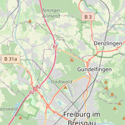
| Centre Point | 48.0478238,7.9484859 |
| OSM | way 27868045 |
| Computed Postcode | 79286 |
| Address Tags | |
| Extra Tags |
| Local name | Type | OSM | Address rank | Admin level | Distance | |
| Winzerstraße | highway:residential | way 27868045 | 26 | 0 | details > | |
| Unterglottertal | place:village | relation 70210 | 20 | 10 | 0 | details > |
| Mattenbauerhof | place:isolated_dwelling | node 2875314432 | 20 | 0 | details > | |
| Molzenhof | place:isolated_dwelling | node 2875314433 | 20 | 0 | details > | |
| Vorm Dörfle | place:isolated_dwelling | node 2875314435 | 20 | 0 | details > | |
| Glottertal | place:village | relation 70202 | 16 | 8 | 0 | details > |
| Glottertal | place:municipality | node 240130016 | 16 | 0 | details > | |
| GVV St. Peter | boundary:administrative | relation 308235 | 14 | 7 | 0 | details > |
| Landkreis Breisgau-Hochschwarzwald | boundary:administrative | relation 1946367 | 12 | 6 | 0 | details > |
| Regierungsbezirk Freiburg | boundary:administrative | relation 2106112 | 10 | 5 | 0 | details > |
| Baden-Württemberg | place:state | relation 62611 | 8 | 4 | ~1 m | details > |
| 79286 | place:postcode | 5 | 0 | |||
| 79286 | place:postcode | relation 3372342 | 5 | 0 | details > | |
| Deutschland | place:country | relation 51477 | 4 | 2 | ~4 m | details > |
| de | place:country_code | 4 | 0 | |||
Parent Of | ||||||
Building | ||||||
| No Name | building:yes | way 108049053 | 30 | ~5 m | details > | |
| No Name | building:yes | way 108048982 | 30 | ~17 m | details > | |
| No Name | building:yes | way 108049187 | 30 | ~36 m | details > | |
| No Name | building:yes | way 108049144 | 30 | ~16 m | details > | |
| No Name | building:yes | way 108048985 | 30 | ~5 m | details > | |
| No Name | building:yes | way 108049071 | 30 | ~15 m | details > | |
| No Name | building:yes | way 108049105 | 30 | ~18 m | details > | |