| Name | Albert-Lortzing-Weg (name)
|
| Type | highway:residential |
| Last Updated | 2018-12-04 14:10 |
| Admin Level | 15 |
| Rank | Street / Major Landmark |
| Importance | 0.1 (estimated) |
| Coverage | Point |
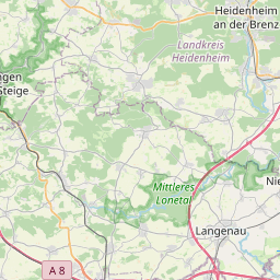
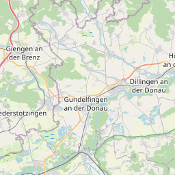
| Centre Point | 48.6344625,10.1739473 |
| OSM | way 27942461 |
| Computed Postcode | 89542 |
| Address Tags | |
| Extra Tags | 30 (maxspeed)
|
| Local name | Type | OSM | Address rank | Admin level | Distance | |
| Albert-Lortzing-Weg | highway:residential | way 27942461 | 26 | 0 | details > | |
| Stangenhau | landuse:residential | way 568736419 | 22 | 0 | details > | |
| Mergelstetten | place:suburb | node 267662569 | 20 | 0 | details > | |
| Herbrechtingen | place:town | relation 2791216 | 16 | 8 | 0 | details > |
| Landkreis Heidenheim | boundary:administrative | relation 2812850 | 12 | 6 | 0 | details > |
| Regierungsbezirk Stuttgart | boundary:administrative | relation 22041 | 10 | 5 | 0 | details > |
| Baden-Württemberg | place:state | relation 62611 | 8 | 4 | ~1 m | details > |
| 89542 | place:postcode | 5 | 0 | |||
| 89542 | place:postcode | relation 1141136 | 5 | 0 | details > | |
| Deutschland | place:country | relation 51477 | 4 | 2 | ~3 m | details > |
| de | place:country_code | 4 | 0 | |||
Parent Of | ||||||
Building | ||||||
| No Name | building:yes | way 406249389 | 30 | ~18 m | details > | |
| No Name | building:yes | way 406249388 | 30 | ~19 m | details > | |
| No Name | building:yes | way 386049156 | 30 | ~49 m | details > | |
| No Name | building:yes | way 406249391 | 30 | ~27 m | details > | |
| No Name | building:yes | way 406249390 | 30 | ~33 m | details > | |
| No Name | building:yes | way 386049165 | 30 | ~43 m | details > | |
| No Name | building:yes | way 406249387 | 30 | ~40 m | details > | |
| No Name | building:yes | way 386049166 | 30 | ~53 m | details > | |
Playground | ||||||
| No Name | leisure:playground | way 300116267 | 30 | ~86 m | details > | |