| Name | Erkshausen (name)
|
| Type | place:village |
| Last Updated | 2018-12-03 18:06 |
| Admin Level | 15 |
| Rank | Other: 19 |
| Importance | 0.275 (estimated) |
| Coverage | Polygon |
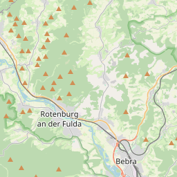
| Centre Point | 51.0362363,9.7690405 |
| OSM | way 31164503 |
| Computed Postcode | |
| Address Tags | |
| Extra Tags | village (place)
|
| Local name | Type | OSM | Address rank | Admin level | Distance | |
| Erkshausen | place:village | way 31164503 | 16 | 0 | details > | |
| Rotenburg a.d. Fulda | place:town | relation 238957 | 16 | 8 | 0 | details > |
| Landkreis Hersfeld-Rotenburg | place:county | relation 62637 | 12 | 6 | 0 | details > |
| Regierungsbezirk Kassel | boundary:administrative | relation 286675 | 10 | 5 | 0 | details > |
| Hessen | place:state | relation 62650 | 8 | 4 | 0 | details > |
| Deutschland | place:country | relation 51477 | 4 | 2 | 0 | details > |
| de | place:country_code | 4 | 0 | |||
| Europe | place:continent | node 25871341 | 2 | 0 | details > | |
Linked Places | ||||||
| Erkshausen | place:village | node 266572063 | 16 | 0 | details > | |
Parent Of | ||||||
Residential | ||||||
| Alheimer Straße | highway:residential | way 38392072 | 26 | ~156 m | details > | |
| Am Weiher | highway:residential | way 356412761 | 26 | ~180 m | details > | |
| Glockenweg | highway:residential | way 38392074 | 26 | ~182 m | details > | |
| Heideweg | highway:residential | way 38392073 | 26 | ~212 m | details > | |
| Heideweg | highway:residential | way 30311924 | 26 | ~156 m | details > | |
| Im Schlüssel | highway:residential | way 30311923 | 26 | ~449 m | details > | |
| Johann-Grössel-Straße | highway:residential | way 38392075 | 26 | ~11 m | details > | |
Secondary | ||||||
| Hauptstraße | highway:secondary | way 532885164 | 26 | ~156 m | details > | |
| Hauptstraße | highway:secondary | way 296299034 | 26 | ~165 m | details > | |
| Hauptstraße | highway:secondary | way 532885165 | 26 | ~155 m | details > | |
| Hauptstraße | highway:secondary | way 24512774 | 26 | ~156 m | details > | |