| Name | Greimharting (name)
|
| Type | highway:residential |
| Last Updated | 2018-12-04 07:56 |
| Admin Level | 15 |
| Rank | Street / Major Landmark |
| Importance | 0.1 (estimated) |
| Coverage | Point |
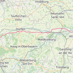
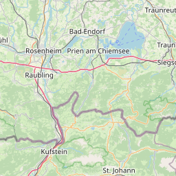
| Centre Point | 47.8695658,12.3199896 |
| OSM | way 32390834 |
| Computed Postcode | 83253 |
| Address Tags | |
| Extra Tags | hiking (sac_scale)
driveway (service)
|
| Local name | Type | OSM | Address rank | Admin level | Distance | |
| Greimharting | highway:residential | way 32390834 | 26 | 0 | details > | |
| Oberhamberg | place:isolated_dwelling | node 5439652538 | 20 | 0 | details > | |
| Unterhamberg | place:isolated_dwelling | node 351933135 | 20 | 0 | details > | |
| Greimharting | place:village | way 416618829 | 16 | 0 | details > | |
| Rimsting | place:village | relation 2186936 | 16 | 8 | 0 | details > |
| Landkreis Rosenheim | place:county | relation 2156362 | 12 | 6 | 0 | details > |
| Obb | boundary:administrative | relation 2145274 | 10 | 5 | 0 | details > |
| Bayern | place:state | relation 2145268 | 8 | 4 | ~1 m | details > |
| 83253 | place:postcode | 5 | 0 | |||
| 83253 | place:postcode | relation 1114588 | 5 | 0 | details > | |
| Deutschland | place:country | relation 51477 | 4 | 2 | ~4 m | details > |
| de | place:country_code | 4 | 0 | |||
Parent Of | ||||||
Fire_station | ||||||
| Freiwillige Feuerwehr Greimharting | amenity:fire_station | way 316652769 | 30 | ~68 m | details > | |