| Name | 215 (name)
|
| Type | highway:path |
| Last Updated | 2018-12-05 13:39 |
| Admin Level | 15 |
| Rank | Minory Street / Path |
| Importance | 0.075 (estimated) |
| Coverage | Point |
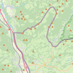
| Centre Point | 47.7193248,12.2199779 |
| OSM | way 34306823 |
| Computed Postcode | 83131 |
| Address Tags | |
| Extra Tags | up (incline)
1 (mtb:scale)
hiking (sac_scale)
grass (surface)
|
| Local name | Type | OSM | Address rank | Admin level | Distance | |
| 215 | highway:path | way 34306823 | 27 | 0 | details > | |
| Nußdorf am Inn | place:village | relation 2186929 | 16 | 8 | 0 | details > |
| Landkreis Rosenheim | place:county | relation 2156362 | 12 | 6 | 0 | details > |
| Obb | boundary:administrative | relation 2145274 | 10 | 5 | 0 | details > |
| Bayern | place:state | relation 2145268 | 8 | 4 | ~1 m | details > |
| 83131 | place:postcode | 5 | 0 | |||
| 83131 | place:postcode | relation 1114574 | 5 | 0 | details > | |
| Deutschland | place:country | relation 51477 | 4 | 2 | ~4 m | details > |
| de | place:country_code | 4 | 0 | |||
Parent Of | ||||||
Building | ||||||
| Dorfnerhütte | building:yes | way 35912346 | 30 | ~144 m | details > | |
| Grafnhütte | building:yes | way 35912345 | 30 | ~219 m | details > | |
Information | ||||||
| Kasalm | tourism:information | node 281815172 | 30 | ~177 m | details > | |