| Name | Weiherweg (name)
|
| Type | highway:unclassified |
| Last Updated | 2018-12-04 10:21 |
| Admin Level | 15 |
| Rank | Street / Major Landmark |
| Importance | 0.1 (estimated) |
| Coverage | Point |
| Centre Point | 48.8423509,11.354854 |
| OSM | way 34581595 |
| Computed Postcode | 85080 |
| Address Tags | |
| Extra Tags | designated (access)
asphalt (surface)
grade3; grade2 (tracktype)
|
| Local name | Type | OSM | Address rank | Admin level | Distance | |
| Weiherweg | highway:unclassified | way 34581595 | 26 | 0 | details > | |
| Mühltal | place:isolated_dwelling | node 1735459822 | 20 | 0 | details > | |
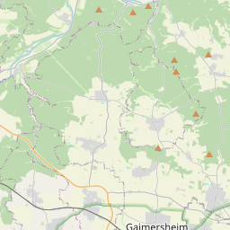
| Gaimersheim | place:town | relation 943539 | 16 | 8 | 0 | details > |
| Lippertshofen | place:village | node 1742838349 | 16 | 0 | details > | |
| Landkreis Eichstätt | boundary:administrative | relation 62684 | 12 | 6 | 0 | details > |
| Obb | boundary:administrative | relation 2145274 | 10 | 5 | 0 | details > |
| Bayern | place:state | relation 2145268 | 8 | 4 | 0 | details > |
| 85080 | place:postcode | 5 | 0 | |||
| 85080 | place:postcode | relation 1100007 | 5 | 0 | details > | |
| Deutschland | place:country | relation 51477 | 4 | 2 | ~3 m | details > |
| de | place:country_code | 4 | 0 |