| Name | Gempfinger Straße (name)
Gempfinger Straße (name:de)
ND 11 (ref)
|
| Type | highway:tertiary |
| Last Updated | 2018-12-04 10:21 |
| Admin Level | 15 |
| Rank | Street / Major Landmark |
| Importance | 0.1 (estimated) |
| Coverage | Point |
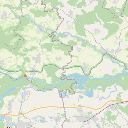
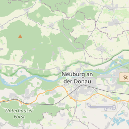
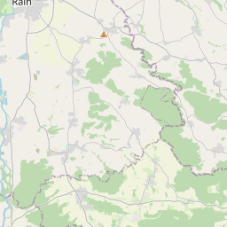
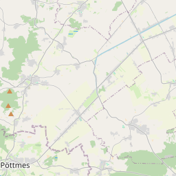
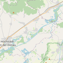
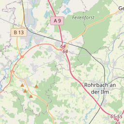
| Centre Point | 48.6943067,11.0127001 |
| OSM | way 34908761 |
| Computed Postcode | 86666 |
| Address Tags | |
| Extra Tags | asphalt (surface)
|
| Local name | Type | OSM | Address rank | Admin level | Distance | |
| Gempfinger Straße | highway:tertiary | way 34908761 | 26 | 0 | details > | |
| Burgheim | place:village | relation 943668 | 16 | 8 | 0 | details > |
| Landkreis Neuburg-Schrobenhausen | boundary:administrative | relation 62655 | 12 | 6 | 0 | details > |
| Obb | boundary:administrative | relation 2145274 | 10 | 5 | 0 | details > |
| Bayern | place:state | relation 2145268 | 8 | 4 | 0 | details > |
| 86666 | place:postcode | 5 | 0 | |||
| 86666 | place:postcode | relation 1142092 | 5 | 0 | details > | |
| Deutschland | place:country | relation 51477 | 4 | 2 | ~3 m | details > |
| de | place:country_code | 4 | 0 | |||
Parent Of | ||||||
Parking | ||||||
| LKW | amenity:parking | way 474916127 | 30 | ~263 m | details > | |
| No Name | amenity:parking | way 474916125 | 30 | ~217 m | details > | |
| No Name | amenity:parking | way 474916126 | 30 | ~261 m | details > | |
Company | ||||||
| No Name | office:company | way 222156720 | 30 | ~151 m | details > | |
Building | ||||||
| No Name | building:yes | way 474916121 | 30 | ~198 m | details > | |
| No Name | building:yes | way 474916120 | 30 | ~213 m | details > | |
| No Name | building:yes | way 222156721 | 30 | ~150 m | details > | |
Toilets | ||||||
| No Name | amenity:toilets | node 4687721821 | 30 | ~238 m | details > | |
Weighbridge | ||||||
| No Name | amenity:weighbridge | way 474916129 | 30 | ~226 m | details > | |