| Name | Friedhofsweg (name)
|
| Type | highway:residential |
| Last Updated | 2018-12-04 13:08 |
| Admin Level | 15 |
| Rank | Street / Major Landmark |
| Importance | 0.1 (estimated) |
| Coverage | Point |
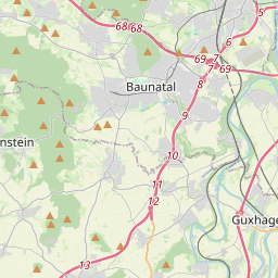
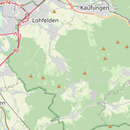
| Centre Point | 51.2652758,9.5605594 |
| OSM | way 35136191 |
| Computed Postcode | 34253 |
| Address Tags | |
| Extra Tags | 30 (maxspeed)
|
| Local name | Type | OSM | Address rank | Admin level | Distance | |
| Friedhofsweg | highway:residential | way 35136191 | 26 | 0 | details > | |
| Lohfelden | place:town | relation 1115032 | 16 | 8 | 0 | details > |
| Landkreis Kassel | place:county | relation 62401 | 12 | 6 | 0 | details > |
| Regierungsbezirk Kassel | boundary:administrative | relation 286675 | 10 | 5 | 0 | details > |
| Hessen | place:state | relation 62650 | 8 | 4 | 0 | details > |
| 34253 | place:postcode | 5 | 0 | |||
| 34253 | place:postcode | relation 3356553 | 5 | 0 | details > | |
| Deutschland | place:country | relation 51477 | 4 | 2 | 0 | details > |
| de | place:country_code | 4 | 0 | |||
| Europe | place:continent | node 25871341 | 2 | 0 | details > | |
Parent Of | ||||||
Bus_stop | ||||||
| Kasseler Straße | highway:bus_stop | node 5532892044 | 30 | ~337 m | details > | |
| Kasseler Straße | highway:bus_stop | node 5532892046 | 30 | ~325 m | details > | |
Give_way | ||||||
| No Name | highway:give_way | node 3202062081 | 30 | ~250 m | details > | |
Information | ||||||
| No Name | tourism:information | node 3570078497 | 30 | ~330 m | details > | |
Building | ||||||
| No Name | building:yes | way 578472338 | 30 | ~228 m | details > | |