| Name | Platz der Synagoge (name)
|
| Type | historic:memorial |
| Last Updated | 2018-12-10 06:57 |
| Admin Level | 15 |
| Rank | Other: 30 |
| Coverage | Polygon |
| Centre Point | 48.89301,9.18822397351843 |
| OSM | way 37659290 |
| Computed Postcode | 71638 |
| Address Tags | |
| Extra Tags | https://upload.wikimedia.org/wikipedia/commons/9/9e/Ehemalige_Synagoge_Ludwigsburg_%282015_Panorama%29_DSC_3567.JPG (image)
unpaved (surface)
limited (wheelchair)
de:Synagoge (Ludwigsburg) (wikipedia)
|
| Local name | Type | OSM | Address rank | Admin level | Distance | |
| Platz der Synagoge | historic:memorial | 29 | 0 | details > | ||
| Platz der Synagoge | highway:footway | way 37659290 | 27 | 0 | details > | |
| Karlshöhe | place:neighbourhood | node 1801368070 | 22 | 0 | details > | |
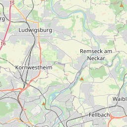
| Ludwigsburg-Mitte | place:suburb | relation 6717767 | 20 | 10 | 0 | details > |
| Ludwigsburg | place:town | relation 405292 | 16 | 8 | 0 | details > |
| Landkreis Ludwigsburg | boundary:administrative | relation 62536 | 12 | 6 | 0 | details > |
| Regierungsbezirk Stuttgart | boundary:administrative | relation 22041 | 10 | 5 | 0 | details > |
| Baden-Württemberg | place:state | relation 62611 | 8 | 4 | 0 | details > |
| 71638 | place:postcode | 5 | 0 | |||
| 71638 | place:postcode | relation 1247098 | 5 | 0 | details > | |
| Deutschland | place:country | relation 51477 | 4 | 2 | ~3 m | details > |
| de | place:country_code | 4 | 0 |