| Name | Kronprinz-Linie (name)
|
| Type | highway:track |
| Last Updated | 2018-12-04 07:54 |
| Admin Level | 15 |
| Rank | Street / Major Landmark |
| Importance | 0.1 (estimated) |
| Coverage | Point |
| Centre Point | 48.2329207,12.4260758 |
| OSM | way 37913519 |
| Computed Postcode | 84539 |
| Address Tags | |
| Extra Tags | grade2 (tracktype)
|
| Local name | Type | OSM | Address rank | Admin level | Distance | |
| Kronprinz-Linie | highway:track | way 37913519 | 26 | 0 | details > | |
| Föhrenwinkel | place:suburb | node 2461623602 | 20 | 0 | details > | |
| Fisching | place:isolated_dwelling | node 2377714437 | 20 | 0 | details > | |
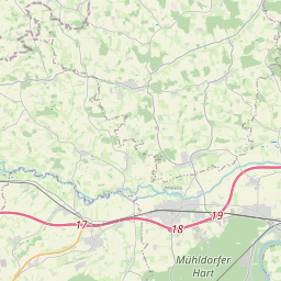
| Mühldorfer Hart | boundary:administrative | relation 941054 | 16 | 8 | 0 | details > |
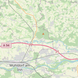
| Landkreis Mühldorf am Inn | place:county | relation 2168232 | 12 | 6 | 0 | details > |
| Obb | boundary:administrative | relation 2145274 | 10 | 5 | 0 | details > |
| Bayern | place:state | relation 2145268 | 8 | 4 | ~1 m | details > |
| 84539 | place:postcode | 5 | 0 | |||
| 84539 | place:postcode | relation 1114144 | 5 | 0 | details > | |
| Deutschland | place:country | relation 51477 | 4 | 2 | ~4 m | details > |
| de | place:country_code | 4 | 0 | |||
Parent Of | ||||||
Information | ||||||
| Gedenkstätte | tourism:information | node 3747951342 | 30 | ~551 m | details > | |
Memorial | ||||||
| Waldlager Grenze | historic:memorial | node 5902207525 | 30 | ~426 m | details > | |
| Waldlager Grenze | historic:memorial | node 5902207519 | 30 | ~13 m | details > | |