| Name | Schulstraße (name)
|
| Type | highway:residential |
| Last Updated | 2018-12-04 18:38 |
| Admin Level | 15 |
| Rank | Street / Major Landmark |
| Importance | 0.1 (estimated) |
| Coverage | Point |
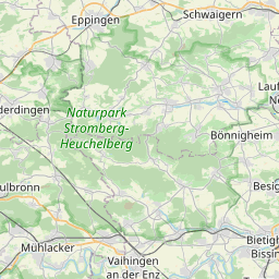
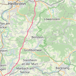
| Centre Point | 49.0162913,9.2023471 |
| OSM | way 42741887 |
| Computed Postcode | 74354 |
| Address Tags | |
| Extra Tags | 30 (maxspeed)
asphalt (surface)
|
| Local name | Type | OSM | Address rank | Admin level | Distance | |
| Schulstraße | highway:residential | way 42741887 | 26 | 0 | details > | |
| Talhof | place:isolated_dwelling | node 5320491645 | 20 | 0 | details > | |
| Sonnenhof | place:isolated_dwelling | node 5320491646 | 20 | 0 | details > | |
| Heckenhof | place:isolated_dwelling | node 5320491644 | 20 | 0 | details > | |
| Saalenhof | place:isolated_dwelling | node 5365537159 | 20 | 0 | details > | |
| Siehdichfür | place:isolated_dwelling | node 4677999969 | 20 | 0 | details > | |
| Lindenhof | place:isolated_dwelling | node 5365537154 | 20 | 0 | details > | |
| Birkenhof | place:isolated_dwelling | node 1475362192 | 20 | 0 | details > | |
| Besigheim | place:town | relation 405302 | 16 | 8 | 0 | details > |
| Ottmarsheim | place:village | node 272488626 | 16 | 0 | details > | |
| Gemeindeverwaltungsverband Besigheim | boundary:administrative | relation 1613515 | 14 | 7 | 0 | details > |
| Landkreis Ludwigsburg | boundary:administrative | relation 62536 | 12 | 6 | 0 | details > |
| Regierungsbezirk Stuttgart | boundary:administrative | relation 22041 | 10 | 5 | 0 | details > |
| Baden-Württemberg | place:state | relation 62611 | 8 | 4 | 0 | details > |
| 74354 | place:postcode | 5 | 0 | |||
| 74354 | place:postcode | relation 1227789 | 5 | 0 | details > | |
| Deutschland | place:country | relation 51477 | 4 | 2 | ~3 m | details > |
| de | place:country_code | 4 | 0 | |||
Parent Of | ||||||
Place_of_worship | ||||||
| St. Hippolyt | amenity:place_of_worship | way 326630853 | 30 | ~27 m | details > | |
Building | ||||||
| No Name | building:yes | way 326630999 | 30 | ~7 m | details > | |
| No Name | building:yes | way 551013755 | 30 | ~17 m | details > | |
| No Name | building:yes | way 326630783 | 30 | ~4 m | details > | |
| No Name | building:yes | way 326630823 | 30 | ~20 m | details > | |
| No Name | building:yes | way 326630845 | 30 | ~8 m | details > | |
| No Name | building:yes | way 326630919 | 30 | ~20 m | details > | |