| Name | |
| Type | highway:unclassified |
| Last Updated | 2018-12-04 07:53 |
| Admin Level | 15 |
| Rank | Street / Major Landmark |
| Importance | 0.1 (estimated) |
| Coverage | Point |
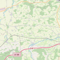
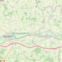
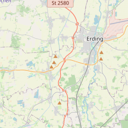
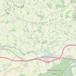
| Centre Point | 48.236143,12.1394249 |
| OSM | way 43122285 |
| Computed Postcode | 84427 |
| Address Tags | |
| Extra Tags | 5 (maxweight)
|
| Local name | Type | OSM | Address rank | Admin level | Distance | |
| No Name | highway:unclassified | way 43122285 | 26 | 0 | details > | |
| Haberstätt | place:isolated_dwelling | node 1686098880 | 20 | 0 | details > | |
| Weinthal | place:isolated_dwelling | node 1686099031 | 20 | 0 | details > | |
| Birkenhof | place:isolated_dwelling | node 3495125966 | 20 | 0 | details > | |
| Sankt Wolfgang | place:village | relation 934757 | 16 | 8 | 0 | details > |
| Oed | place:hamlet | node 622290242 | 16 | 0 | details > | |
| Eiermühle | place:hamlet | node 1711418381 | 16 | 0 | details > | |
| Endgassen | place:hamlet | node 315509745 | 16 | 0 | details > | |
| Großschwindau | place:village | node 268193592 | 16 | 0 | details > | |
| Hodersberg | place:hamlet | node 372601354 | 16 | 0 | details > | |
| Spirkersberg | place:hamlet | node 315510578 | 16 | 0 | details > | |
| Landkreis Erding | boundary:administrative | relation 62356 | 12 | 6 | 0 | details > |
| Obb | boundary:administrative | relation 2145274 | 10 | 5 | 0 | details > |
| Bayern | place:state | relation 2145268 | 8 | 4 | ~1 m | details > |
| 84427 | place:postcode | 5 | 0 | |||
| 84427 | place:postcode | relation 1114041 | 5 | 0 | details > | |
| Deutschland | place:country | relation 51477 | 4 | 2 | ~4 m | details > |
| de | place:country_code | 4 | 0 |