| Name | Freiwillige Feuerwehr Kasing (name)
|
| Type | amenity:fire_station |
| Last Updated | 2018-12-06 21:56 |
| Admin Level | 15 |
| Rank | Other: 30 |
| Coverage | Polygon |
| Centre Point | 48.83651985,11.5508008051036 |
| OSM | way 43309176 |
| Computed Postcode | 85092 |
| Address Tags | Oberdollinger Straße (street)
|
| Extra Tags |
| Local name | Type | OSM | Address rank | Admin level | Distance | |
| Freiwillige Feuerwehr Kasing | amenity:fire_station | 29 | 0 | details > | ||
| Oberdollinger Straße | highway:tertiary | way 40774117 | 26 | 0 | details > | |
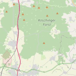
| Kösching | place:village | relation 943540 | 16 | 8 | 0 | details > |
| Kasing | place:village | node 2357942380 | 16 | 0 | details > | |
| Landkreis Eichstätt | boundary:administrative | relation 62684 | 12 | 6 | 0 | details > |
| Obb | boundary:administrative | relation 2145274 | 10 | 5 | 0 | details > |
| Bayern | place:state | relation 2145268 | 8 | 4 | 0 | details > |
| 85092 | place:postcode | 5 | 0 | |||
| 85092 | place:postcode | relation 1099998 | 5 | 0 | details > | |
| Deutschland | place:country | relation 51477 | 4 | 2 | ~3 m | details > |
| de | place:country_code | 4 | 0 |