| Name | Zaschendorfer Straße (name)
|
| Type | highway:living_street |
| Last Updated | 2018-12-04 05:15 |
| Admin Level | 15 |
| Rank | Street / Major Landmark |
| Importance | 0.1 (estimated) |
| Coverage | Point |
| Centre Point | 51.1177711,11.9791607 |
| OSM | way 45071866 |
| Computed Postcode | 06682 |
| Address Tags | |
| Extra Tags | asphalt (surface)
|
| Local name | Type | OSM | Address rank | Admin level | Distance | |
| Zaschendorfer Straße | highway:living_street | way 45071866 | 26 | 0 | details > | |
| Krauschwitz | boundary:administrative | relation 2405097 | 20 | 10 | 0 | details > |
| Teuchern | place:town | relation 2405054 | 16 | 8 | 0 | details > |
| Krauschwitz | place:village | node 240042608 | 16 | 0 | details > | |
| Reußen | place:village | node 5647904530 | 16 | 0 | details > | |
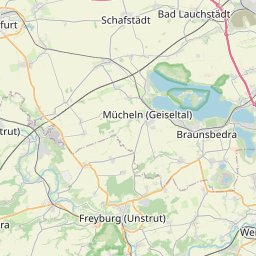
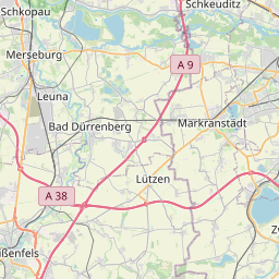
| Burgenlandkreis | place:county | relation 62639 | 12 | 6 | 0 | details > |
| Sachsen-Anhalt | place:state | relation 62607 | 8 | 4 | 0 | details > |
| 06682 | place:postcode | 5 | 0 | |||
| 06682 | place:postcode | relation 2405093 | 5 | 0 | details > | |
| Deutschland | place:country | relation 51477 | 4 | 2 | ~2 m | details > |
| de | place:country_code | 4 | 0 | |||
Parent Of | ||||||
Kindergarten | ||||||
| Kindergarten | amenity:kindergarten | node 2343136360 | 30 | ~83 m | details > | |