| Name | Langenredder (name)
|
| Type | highway:residential |
| Last Updated | 2018-12-04 08:14 |
| Admin Level | 15 |
| Rank | Street / Major Landmark |
| Importance | 0.1 (estimated) |
| Coverage | Point |
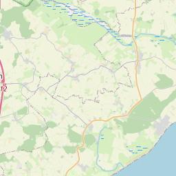
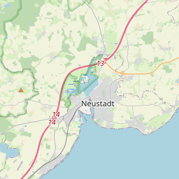
| Centre Point | 54.164702,10.9836035 |
| OSM | way 49048308 |
| Computed Postcode | 23743 |
| Address Tags | |
| Extra Tags | 100 (maxspeed)
asphalt (surface)
|
| Local name | Type | OSM | Address rank | Admin level | Distance | |
| Langenredder | highway:residential | way 49048308 | 26 | 0 | details > | |
| Klockenhagen | place:isolated_dwelling | node 3054328151 | 20 | 0 | details > | |
| Grömitz | place:village | relation 382428 | 16 | 8 | 0 | details > |
| Lenste | place:village | node 952595971 | 16 | 0 | details > | |
| Lensterstrand | place:village | node 952596032 | 16 | 0 | details > | |
| Ostholstein | place:county | relation 27025 | 12 | 6 | 0 | details > |
| Schleswig-Holstein | place:state | relation 51529 | 8 | 4 | ~1 m | details > |
| 23743 | place:postcode | 5 | 0 | |||
| 23743 | place:postcode | relation 3364107 | 5 | 0 | details > | |
| Deutschland | place:country | relation 51477 | 4 | 2 | ~3 m | details > |
| de | place:country_code | 4 | 0 | |||
Parent Of | ||||||
Hostel | ||||||
| Freizeithaus Lenste | tourism:hostel | way 202619683 | 30 | ~183 m | details > | |
Pitch | ||||||
| No Name | leisure:pitch | way 301367665 | 30 | ~220 m | details > | |
Bus_stop | ||||||
| No Name | highway:bus_stop | node 952595983 | 30 | ~174 m | details > | |
Post_box | ||||||
| No Name | amenity:post_box | node 666122628 | 30 | ~256 m | details > | |
Playground | ||||||
| No Name | leisure:playground | way 301367666 | 30 | ~207 m | details > | |