| Name | Ihinger Straße (name)
|
| Type | highway:residential |
| Last Updated | 2018-12-04 18:35 |
| Admin Level | 15 |
| Rank | Street / Major Landmark |
| Importance | 0.1 (estimated) |
| Coverage | Point |
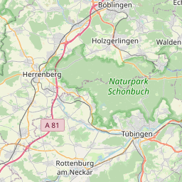
| Centre Point | 48.7450512,8.9516332 |
| OSM | way 56460787 |
| Computed Postcode | 71106 |
| Address Tags | |
| Extra Tags | 50 (maxspeed)
|
| Local name | Type | OSM | Address rank | Admin level | Distance | |
| Ihinger Straße | highway:residential | way 56460787 | 26 | 0 | details > | |
| Brühl | place:neighbourhood | node 3165577778 | 22 | 0 | details > | |
| Wenninger Höfe | place:isolated_dwelling | node 429231814 | 20 | 0 | details > | |
| Heuweg | place:suburb | node 288393076 | 20 | 0 | details > | |
| Magstadt | place:village | relation 722147 | 16 | 8 | 0 | details > |
| Landkreis Böblingen | boundary:administrative | relation 62721 | 12 | 6 | 0 | details > |
| Regierungsbezirk Stuttgart | boundary:administrative | relation 22041 | 10 | 5 | 0 | details > |
| Baden-Württemberg | place:state | relation 62611 | 8 | 4 | 0 | details > |
| 71106 | place:postcode | 5 | 0 | |||
| 71106 | place:postcode | relation 3377994 | 5 | 0 | details > | |
| Deutschland | place:country | relation 51477 | 4 | 2 | ~3 m | details > |
| de | place:country_code | 4 | 0 | |||
Parent Of | ||||||
Building | ||||||
| No Name | building:yes | way 37647307 | 30 | ~395 m | details > | |
| No Name | building:yes | way 37647319 | 30 | ~301 m | details > | |
| No Name | building:yes | way 37647321 | 30 | ~258 m | details > | |
| No Name | building:yes | way 37647317 | 30 | ~278 m | details > | |
| No Name | building:yes | way 37648937 | 30 | ~346 m | details > | |
| No Name | building:yes | way 37647308 | 30 | ~379 m | details > | |
| No Name | building:yes | way 37647314 | 30 | ~321 m | details > | |
MDF | ||||||
| No Name | man_made:MDF | node 307202277 | 30 | ~239 m | details > | |