| Name | EI 36 (ref)
|
| Type | highway:tertiary |
| Last Updated | 2018-12-04 06:57 |
| Admin Level | 15 |
| Rank | Street / Major Landmark |
| Importance | 0.1 (estimated) |
| Coverage | Point |
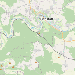
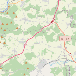
| Centre Point | 48.8264304,11.5578153 |
| OSM | way 64279761 |
| Computed Postcode | 85092 |
| Address Tags | |
| Extra Tags | 70 (maxspeed)
|
| Local name | Type | OSM | Address rank | Admin level | Distance | |
| EI 36 | highway:tertiary | way 64279761 | 26 | 0 | details > | |
| Kösching | place:village | relation 943540 | 16 | 8 | 0 | details > |
| Kasing | place:village | node 2357942380 | 16 | 0 | details > | |
| Tholbath | place:hamlet | node 307512941 | 16 | 0 | details > | |
| Straßhausen | place:hamlet | node 307512938 | 16 | 0 | details > | |
| Großmehring | place:village | relation 943559 | 16 | 8 | 0 | details > |
| Landkreis Eichstätt | boundary:administrative | relation 62684 | 12 | 6 | 0 | details > |
| Obb | boundary:administrative | relation 2145274 | 10 | 5 | 0 | details > |
| Bayern | place:state | relation 2145268 | 8 | 4 | 0 | details > |
| 85092 | place:postcode | 5 | 0 | |||
| 85092 | place:postcode | relation 1099998 | 5 | 0 | details > | |
| 85098 | place:postcode | relation 1100003 | 5 | 0 | details > | |
| Deutschland | place:country | relation 51477 | 4 | 2 | ~3 m | details > |
| de | place:country_code | 4 | 0 | |||
Parent Of | ||||||
Building | ||||||
| Alter Bahnhof Theißing | building:yes | way 29398879 | 30 | ~449 m | details > | |
Bus_stop | ||||||
| Kasing-Canisiushof | highway:bus_stop | node 1515649876 | 30 | ~132 m | details > | |
Information | ||||||
| Schambachtalbahn-Radweg | tourism:information | node 1501846146 | 30 | ~472 m | details > | |
Picnic_site | ||||||
| No Name | tourism:picnic_site | node 2475863917 | 30 | ~473 m | details > | |
Parking | ||||||
| No Name | amenity:parking | way 240197478 | 30 | ~56 m | details > | |
| No Name | amenity:parking | way 240197477 | 30 | ~98 m | details > | |