| Name | Wangenbergweg (name)
|
| Type | highway:unclassified |
| Last Updated | 2018-12-04 14:02 |
| Admin Level | 15 |
| Rank | Street / Major Landmark |
| Importance | 0.1 (estimated) |
| Coverage | Point |
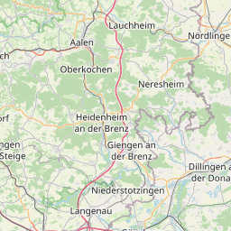
| Centre Point | 48.6217553,10.1421478 |
| OSM | way 75119372 |
| Computed Postcode | 89542 |
| Address Tags | |
| Extra Tags |
| Local name | Type | OSM | Address rank | Admin level | Distance | |
| Wangenbergweg | highway:unclassified | way 75119372 | 26 | 0 | details > | |
| Wangenhof | landuse:farmyard | relation 2263112 | 22 | 0 | details > | |
| Anhausen | boundary:administrative | relation 2873833 | 20 | 10 | 0 | details > |
| Bolheim | boundary:administrative | relation 3008677 | 18 | 9 | 0 | details > |
| Herbrechtingen | place:town | relation 2791216 | 16 | 8 | 0 | details > |
| Anhausen | place:village | node 274717699 | 16 | 0 | details > | |
| Landkreis Heidenheim | boundary:administrative | relation 2812850 | 12 | 6 | 0 | details > |
| Regierungsbezirk Stuttgart | boundary:administrative | relation 22041 | 10 | 5 | 0 | details > |
| Baden-Württemberg | place:state | relation 62611 | 8 | 4 | ~1 m | details > |
| 89542 | place:postcode | 5 | 0 | |||
| 89542 | place:postcode | relation 1141136 | 5 | 0 | details > | |
| Deutschland | place:country | relation 51477 | 4 | 2 | ~3 m | details > |
| de | place:country_code | 4 | 0 | |||
Parent Of | ||||||
Archaeological_site | ||||||
| Sandgrube | historic:archaeological_site | way 163002091 | 30 | ~539 m | details > | |
| Urweltpfad - 6. Everglades der Urbrenz | historic:archaeological_site | node 1342229925 | 30 | ~559 m | details > | |
Information | ||||||
| Spielplatz Wolfstäle | tourism:information | node 3803862910 | 30 | ~447 m | details > | |
Building | ||||||
| No Name | building:yes | way 444869022 | 30 | ~69 m | details > | |
Hunting_stand | ||||||
| No Name | amenity:hunting_stand | node 471843745 | 30 | ~392 m | details > | |
| No Name | amenity:hunting_stand | node 3803862918 | 30 | ~684 m | details > | |
Garden | ||||||
| No Name | leisure:garden | way 75120242 | 30 | ~57 m | details > | |
| No Name | leisure:garden | relation 2263115 | 30 | ~125 m | details > | |
Parking | ||||||
| No Name | amenity:parking | way 229776832 | 30 | ~453 m | details > | |